Steve & Ray's Excellent Adventure

On the Pacific Crest Trail (PCT) in Washington State

Or... How to hike 500 miles in one week segments...

PCT Segment: Chinook Pass to Snoqualmie Pass - September 21-25, 1996

Miles: 77. Days: (Would have been 8 if we finished this section)

Method: This segment was an odd one. We did a number of day hikes, shuttling between two cars and camping at local campgrounds. We had planned one 3-day section, but due to road washouts, we could not get to the trailhead we needed. As a result, we missed about 30 miles of this section, and will need to pick this one up in one of the off years. The day hikes were good because we could cover more miles with a day hike, but we also felt it was more rushed, and less remote, and some of the mystery of the woods was lost. If this hike were done again this way, including the 30 miles we missed, I still think this is a good way to do this section. Much of it is, frankly, boring (compared to other parts of the PCT we've hiked), so the longer day hikes are a good way to cover miles quicker. The Northern part of this section does not include any photo links - the photo lab lost my pictures! That said, we had lousy weather for this piece, and you would not have seen much anyway.


Map

The map, below, shows our route, our camp locations (some have GPS Coordinates), and our car pickup and drop-off locations. Car drops are marked 
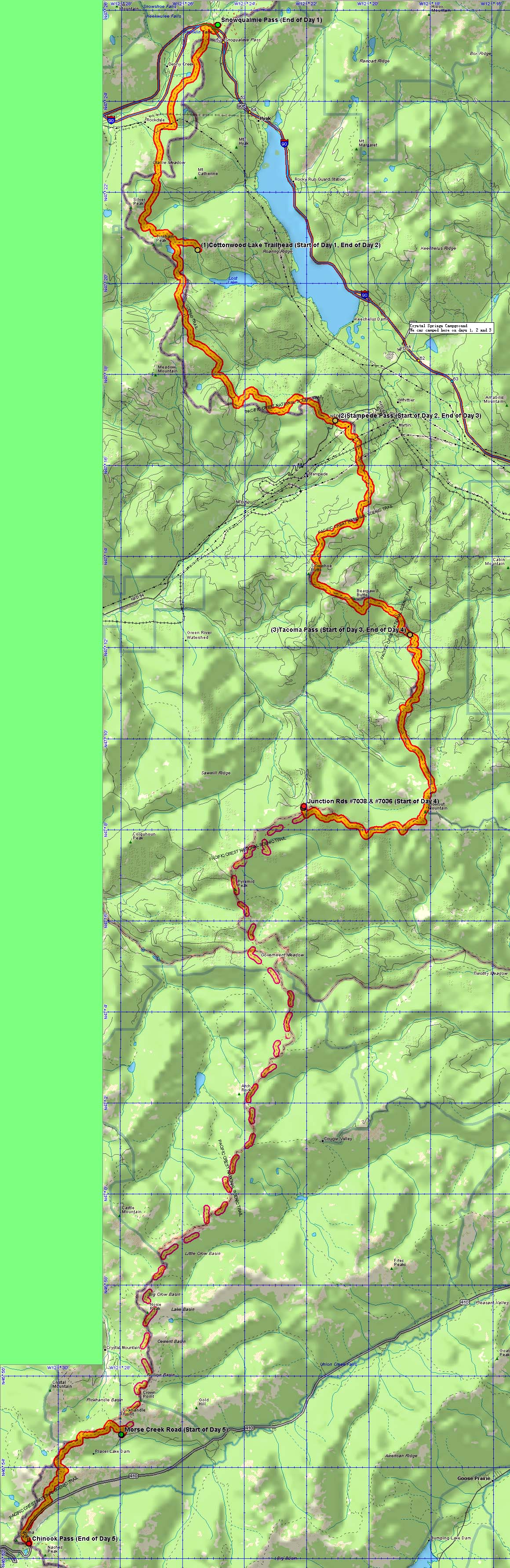
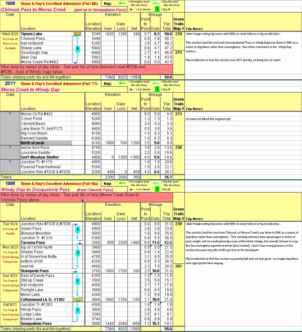
, and car pick-ups are marked . Direction of hiking is marked with a red arrow . Photos along the route are marked by 
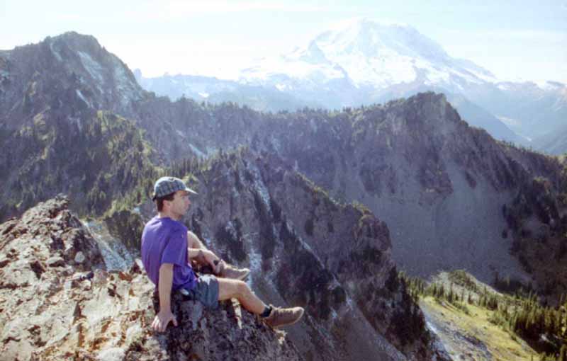
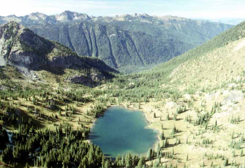
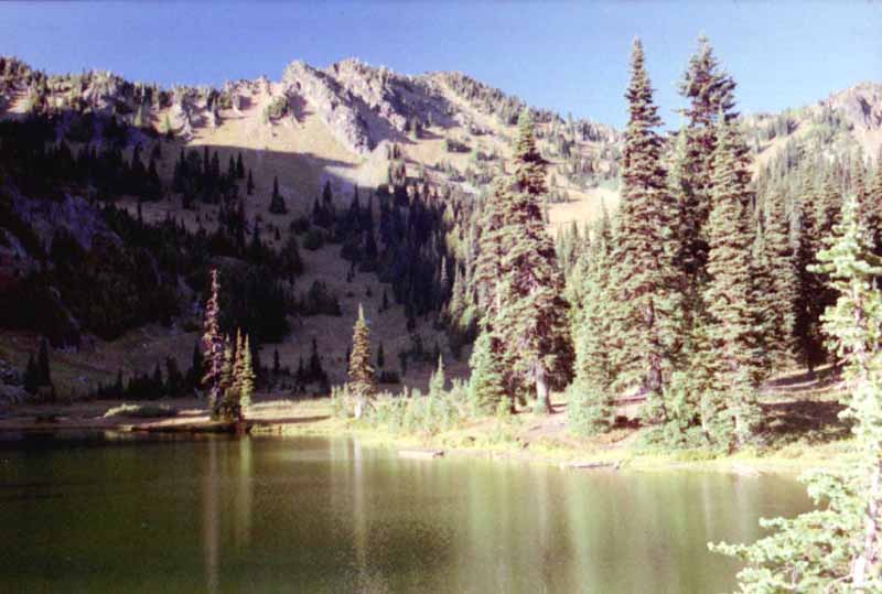
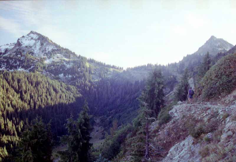
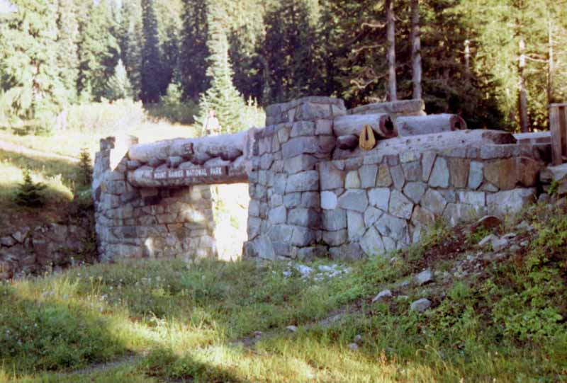
icons - clicking on the camera will bring up a new window with the associated picture (icon locations are approximate - I did not get an exact spot for each picture). Simply close the photo window to go back to the map.

NOTE: This text overlays a large map - it WILL take some time to load - please be patient. Use your scroll bars to move around on this map, and click on camera icons to see photos taken from approximately this point on the trail. NOTE: We have not hiked this section yet NOTE: We have not hiked this section yet NOTE: We have not hiked this section yet


Itinerary

The graphic, below, is an excerpt from a spreasheet that provides daily mileage, elevation gains and losses, and if available, GPS stops. Make sure to watch the direction of the arrows - arrows pointing up are hikes South to North, arrows pointing down are North to South. There is a key at the top of the graphic that will help explain this. The spreadsheet was included as a graphic in order to keep the overlayed graphics together. If you would like to download the entire spreadsheet, click this link for a Microsoft Excel file. Be advised that the spreadsheet has some macros, so depending on your security settings, it may warn you about macros possibly containing viruses. While there are no viruses included, the macros only move around on the sheet, and you don't really need to activate the macros if you don't want to.


Email email

Page copyright © 2006 through present date by Steven R. Osburn. All rights reserved. Private use of this data is encouraged, but this material is not to be sold or included in any books or other pulications without express permission of the author.

If you wish to link to my site, from your site or book, be my guest. If asked, I may decide to include a reciprocal link to your site - but only if I deem your site is more education than sales or profit oriented.

Created on February 19, 2006. Last modified on July 28, 2009.

Return to PCT Home Page