Hikers crossing late summer snow near Spray Park at Mt Rainier.


Hikers crossing late summer snow near Spray Park at Mt Rainier.

A road trip to one of my favorite places - Steens Mountain in SE Oregon.
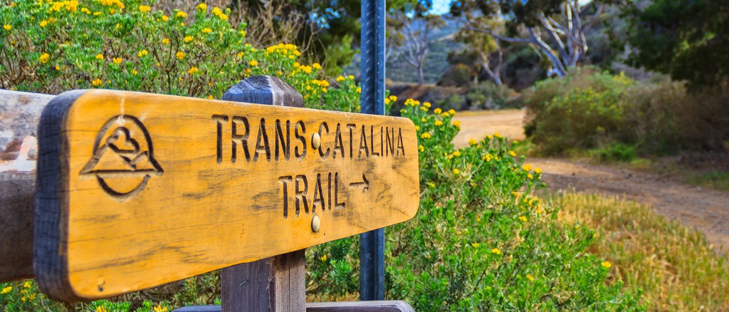
A trek across Catalina Island off the coast of Southern California
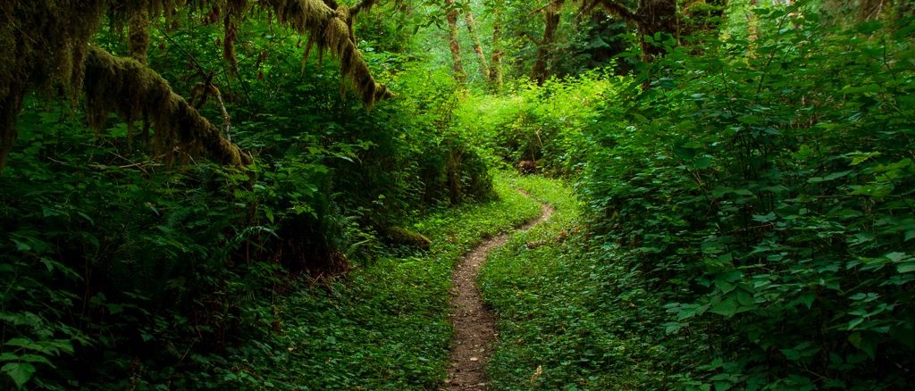
A day hike of the entire West Fork Humptulips River Trail
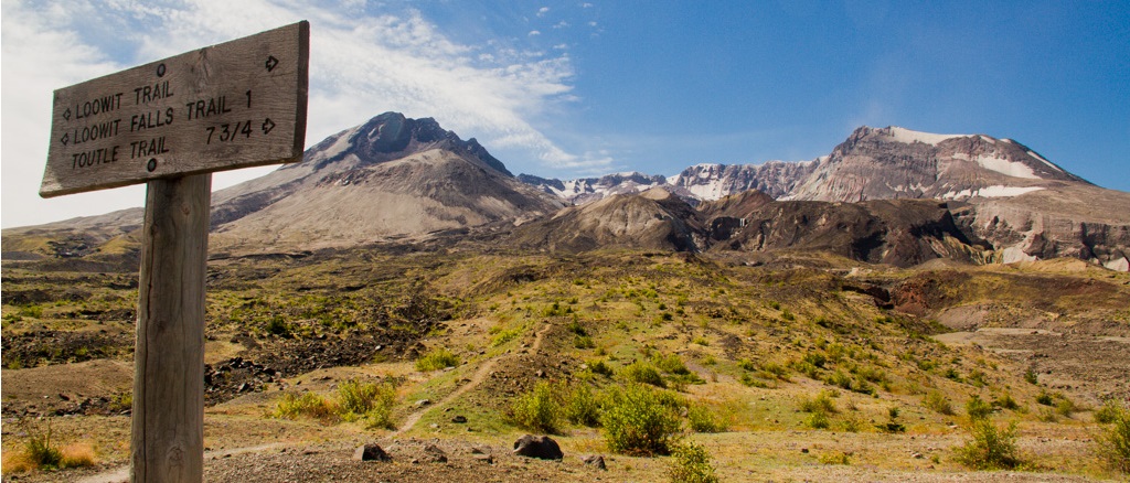
A two day circumambulation of Mt Saint Helens on the Loowit Trail
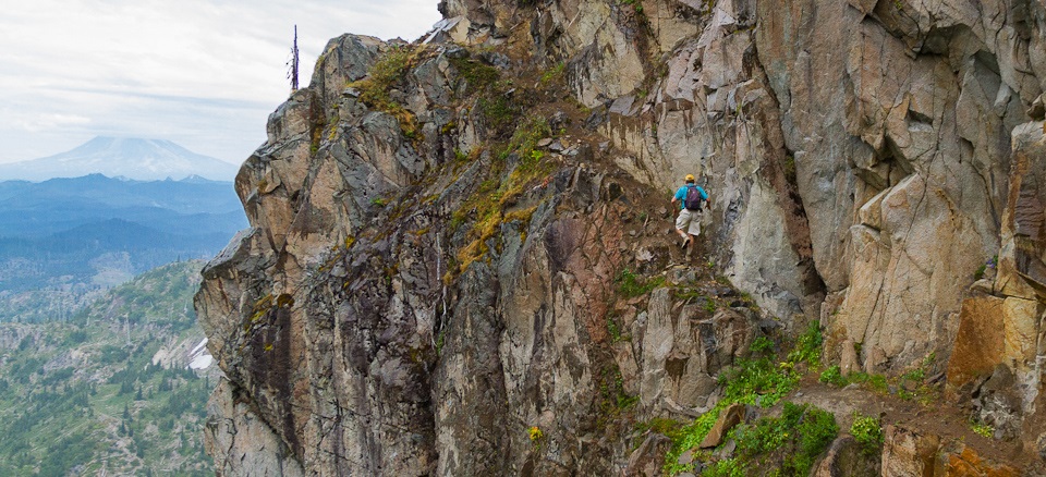
Frazzled nerves on the Mount Whittier Traverse with friends Craig and Peder
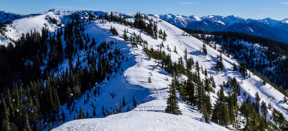
A beautiful winter day Snowshoeing at Hurricane Ridge
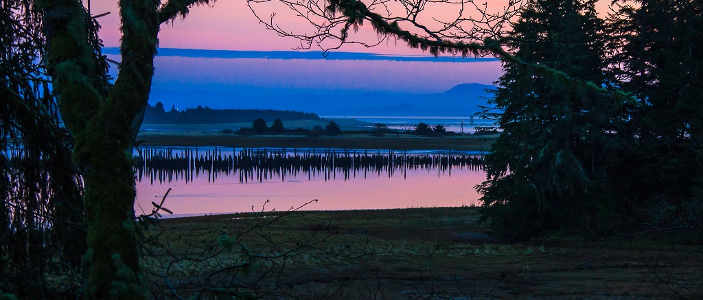
Exploring Cape Dissapointment and the Long Beach area with my son.

A day hike in the North Cascades at Cascade Pass and Sahale Arm.


")


